
Site & Plot Preparation and Grading
Land clearing and grading, level control with laser equipment, engineered cut and fill, and yard preparation before building or paving, with approved layer-by-layer compaction.
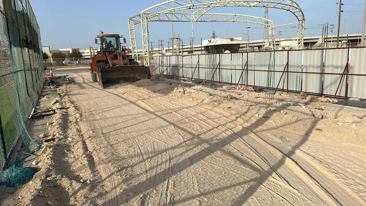
We provide complete preparation and grading for construction sites, plots, and commercial and industrial yards to the highest technical standards in the Kingdom. Our work starts with the topographic survey and cut-and-fill calculations to avoid waste, continues through grading and layer compaction with suitable plant, and ends with a finished surface handed over to the requirements of the main contractor and consultant.
What is included
- Stripping and removing debris and unsuitable topsoil (topsoil stripping).
- Engineered cut and fill to reach the design levels.
- Fine grading and control of falls with survey levels and laser equipment.
- Spreading and compacting soil in engineered layers, watered to the optimum moisture content (OMC).
- Supplying, spreading and compacting subbase for yards and car parks.
- Opening and preparing temporary roads and service tracks within the project site.
How we do it
- 1Initial topographic survey of the land, compared with the drawings to calculate cut and fill quantities accurately.
- 2Clearing the site and hauling unsuitable soil to approved disposal sites, with haulage permits issued.
- 3Backfilling in successive layers (25–30 cm per layer), with watering, mixing and compaction by heavy rollers.
- 4Field density tests (sand cone / Proctor) through an accredited laboratory to confirm the required compaction (95% or 98%).
- 5Setting final levels and falls for rainwater drainage, and handing over a surface ready for the next construction stage.
FAQ
Do you meet the compaction ratios specified in the tender documents?+
Yes. We carry out backfill and compaction in accordance with the code and the approved specifications, and coordinate with accredited soil laboratories for field density tests and certified test reports for the supervising consultant.
Are levels set with precise survey equipment?+
Yes. We use survey levels, laser equipment and total stations to keep surface levels and falls precise and prevent water ponding in future.
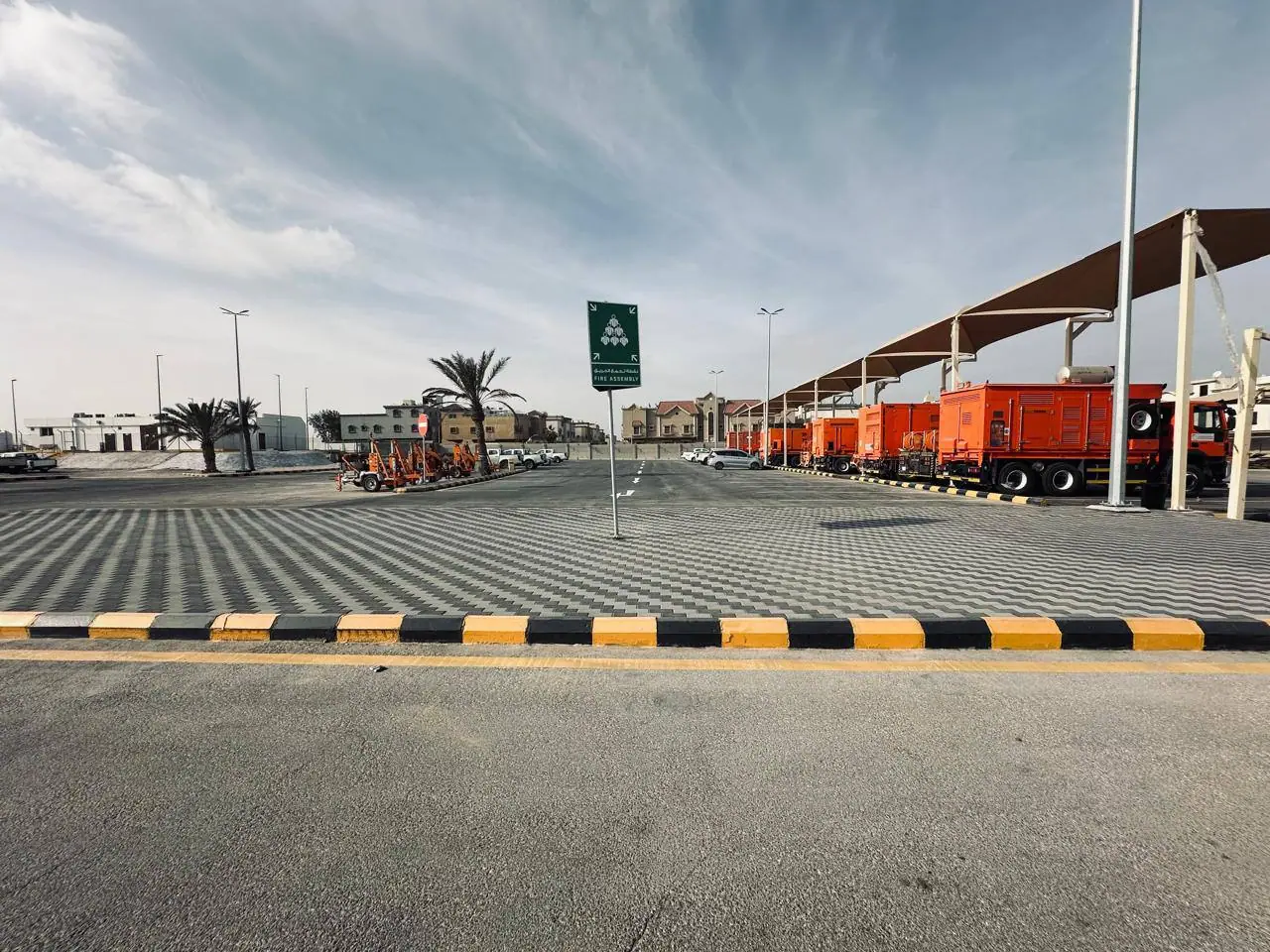
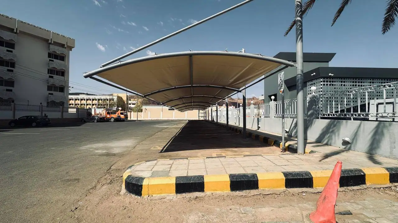
Have a site that needs preparation, excavation or supply?
Send the location and quantities or a drawing on WhatsApp, or request a formal quotation.